ca. 1530 vellum chart, origin unknown
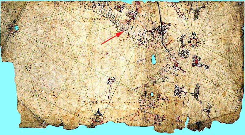
The red arrow indicates the village of Landecho.
ca. 1530 vellum chart, origin unknown
The red arrow indicates the village of Landecho.
ca. 1530 vellum chart, origin unknown
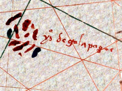
Galápagos detail (rotated 90°)
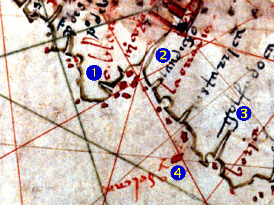
1. Cabo Blanco
2. Landecho
3. Golfo Dulce
4. Isla del Caño

Y del [caño?] label in left lower center is shown rotated 180°. An island with that name (not shown on modern map above) lies in the Pta. San Pedro area.
Y iguanas label in lower right-hand corner is shown rotated 90°. An island with that name (not shown on modern map above) lies off the east coast of Peninsula de Azuero.
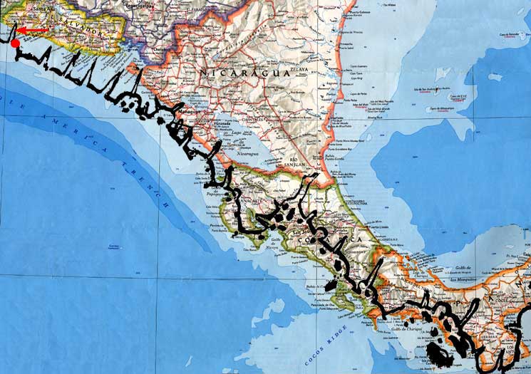
Vellum chart outline (dark line) overlaid on modern map.

Vellum chart outline (dark line) overlaid on modern map.
The red circle and arrow indicate the location of the place name “Acajutla” on the vellum chart and modern map.
